Log in
All resources
Create a design
42,219 Free Images of 1915 Maps
maps made in the 17th century
atlantis magni tomus tertius (biblioteca comunale di trento)
maps by pieter schenk (i)
maps by nicolaes visscher i
japanese fine prints
pre-1915
1915 paintings
maps made in the 18th century
atlantis magni tomus quintus (biblioteca comunale di trento)
atlas van der hagen
maps of paris by braun & hogenberg
maps of paris from paris musées
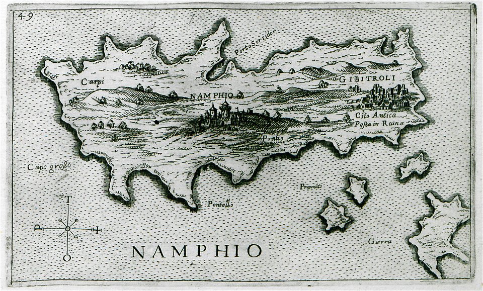
old maps of islands of the aegean sea
giuseppe rosaccio
maps by pieter pourbus
1570s maps
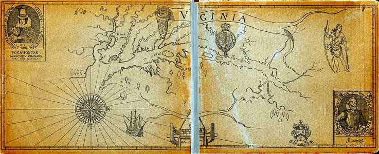
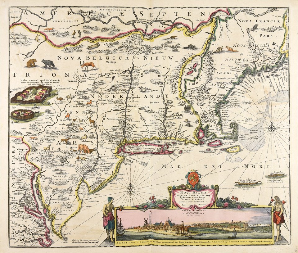
old maps of virginia
captain john smith
geographical illustrations by coronelli
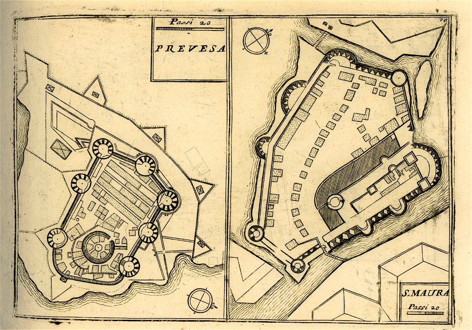
maps of lefkada
maps of paris by braun & hogenberg
maps of paris from paris musées
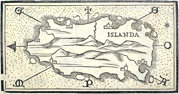
provided by landsbókasafn íslands
maps by giacomo gastaldi
provided by landsbókasafn íslands
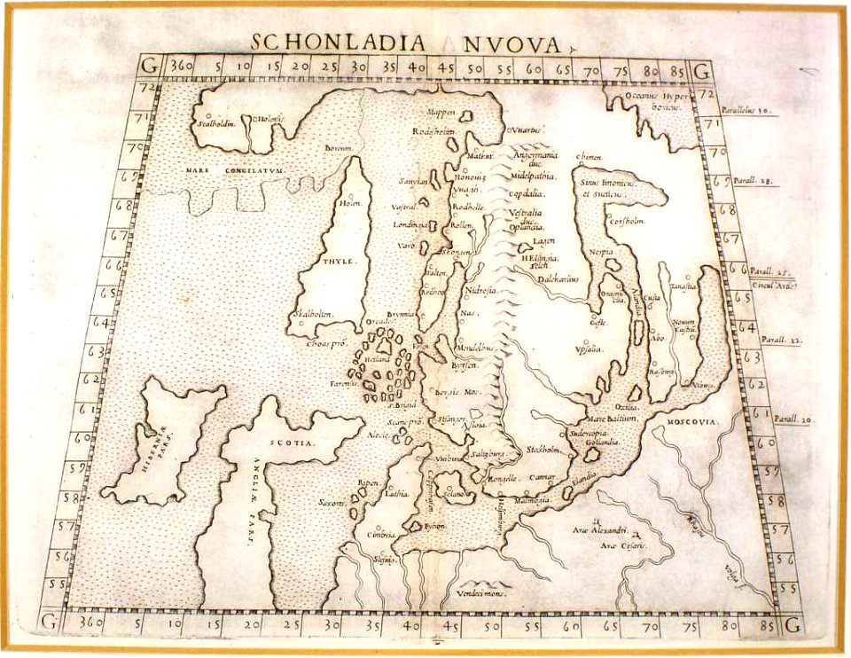
16th-century maps of iceland
old maps of greece
giovanni camocio
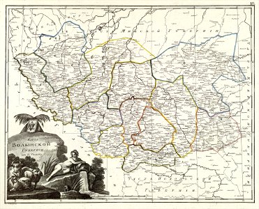
atlas of the russian empire (1800)
maps of volyn governorate
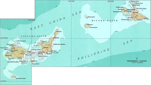
national atlas maps of occupied ryukyu islands
maps of sakishima islands
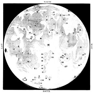
old maps of the moon
1887 maps
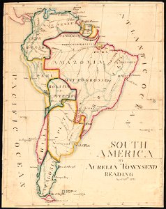
aurelia townsend herrick
1831 maps
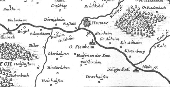
offenbach-bieber
maps of hanau
pennsylvania
sheffield
pennsylvania
sheffield
provided by landsbókasafn íslands
maps by giacomo gastaldi
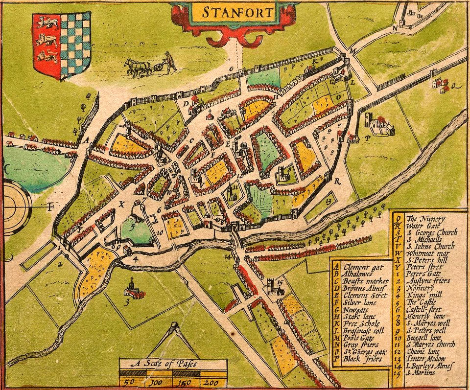
lincolnshire
stamford
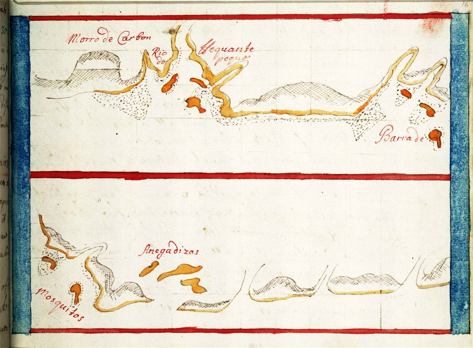
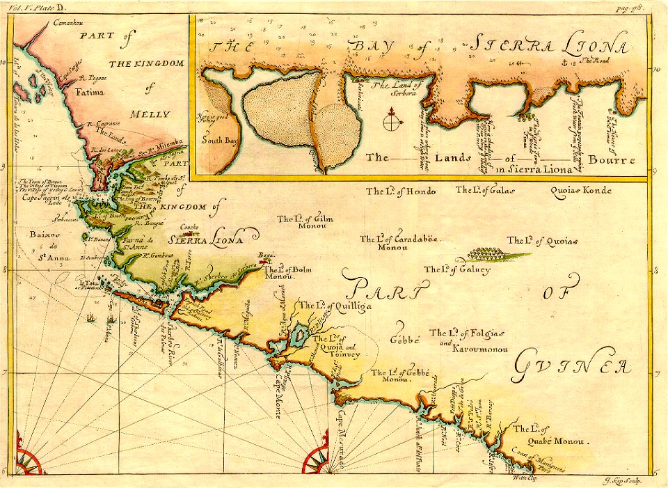
16th-century maps of the caribbean
theodor de bry
lucas janszoon waghenaer
1588 maps
charts and maps of the royal museums greenwich
1682 maps
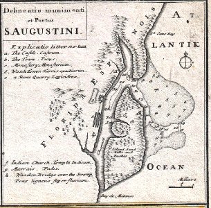
florida
1730s
belgian paintings in the royal museum of fine arts antwerp
paintings by rik wouters
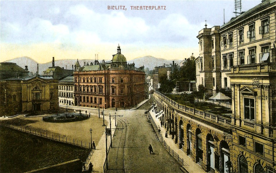
castle markets in bielsko-biała
colored postcards
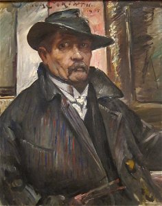
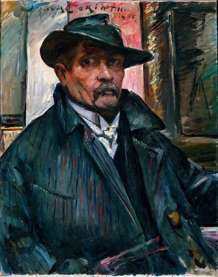
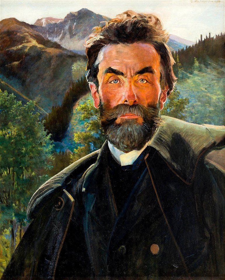
self-portrait paintings by lovis corinth
1910s paintings from germany
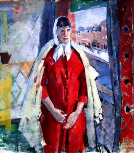
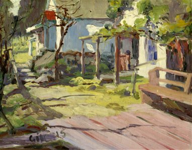
1915 oil on canvas paintings in the united states
paintings in the oakland museum of california
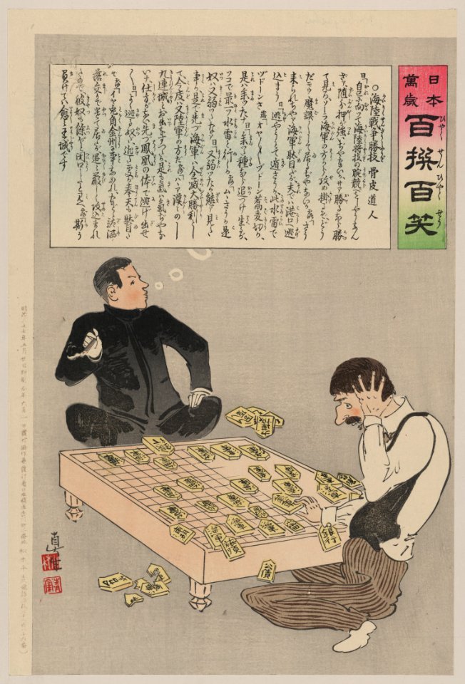
russo-japanese war in art
japanese fine prints
self-portrait paintings by lovis corinth
1910s paintings from germany
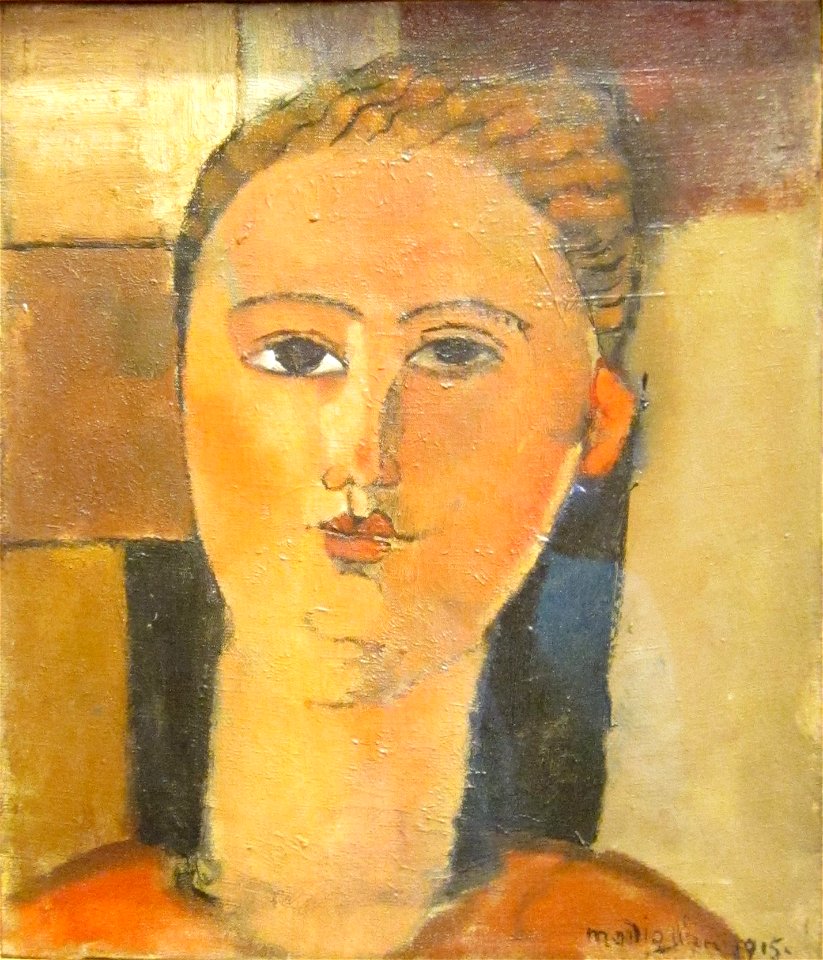
portrait paintings of women by amedeo modigliani
1915 paintings
austria-hungary
1915 paintings
20th-century oil portraits of men at bust length
1902 portrait paintings of men
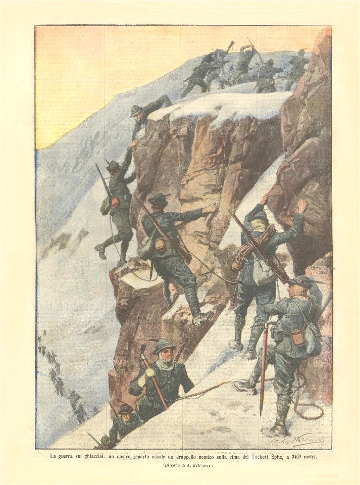
historical images of alpini
white war
american paintings in the brooklyn museum
oil painting
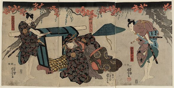
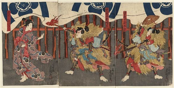
actor prints by utagawa kuniyoshi
ichikawa danjūrō viii
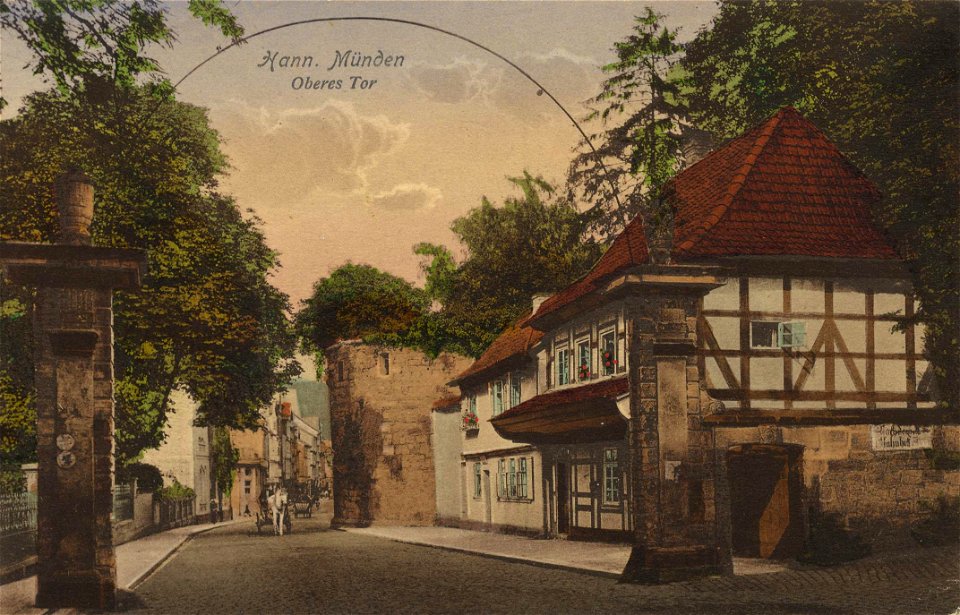
1900s postcards uploaded from zeno of niedersachsen
1915 postcards of lower saxony
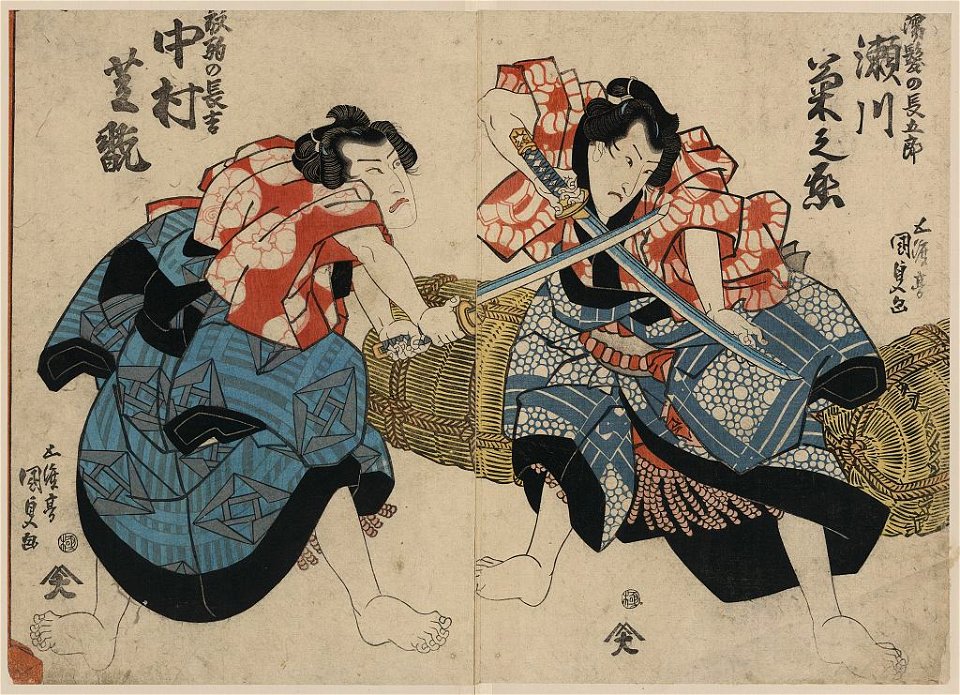
actor prints by utagawa kuniyoshi
ichikawa danjūrō viii
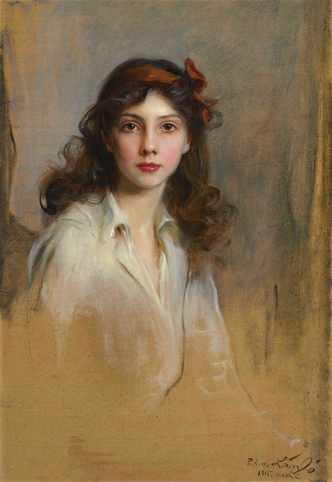
list of works by philip de lászló
female portraits by laszlo
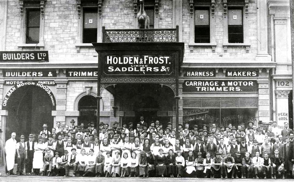
grenfell street
adelaide
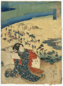
japanese fine prints
nakamura utaemon iv
painters in art
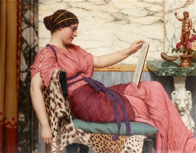
1915 paintings
japanese fine prints
kanagawa-juku
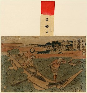
japanese fine prints
kanagawa-juku
kawagoe ninsoku
shimada-juku
printing
1915
ichikawa danjūrō viii
kewaizaka no shōshō
russo-japanese war in art
russian bear
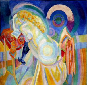
robert delaunay
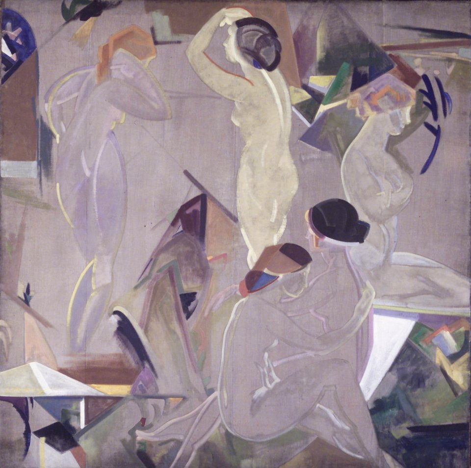
1915 paintings
bland tomtar och troll (among gnomes and trolls) 1915 edition
fairy tale illustrations
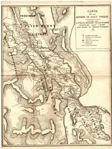
old maps of vietnam
1899
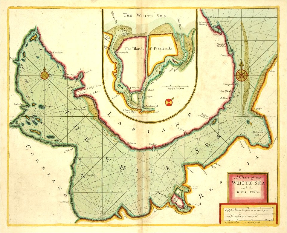
maps made in the 17th century
maps by nicolaes visscher i
maps made in the 17th century
old maps of westphalia
maps made in the 17th century
maps by pieter schenk (i)
maps made in the 17th century
maps by nicolaes visscher i
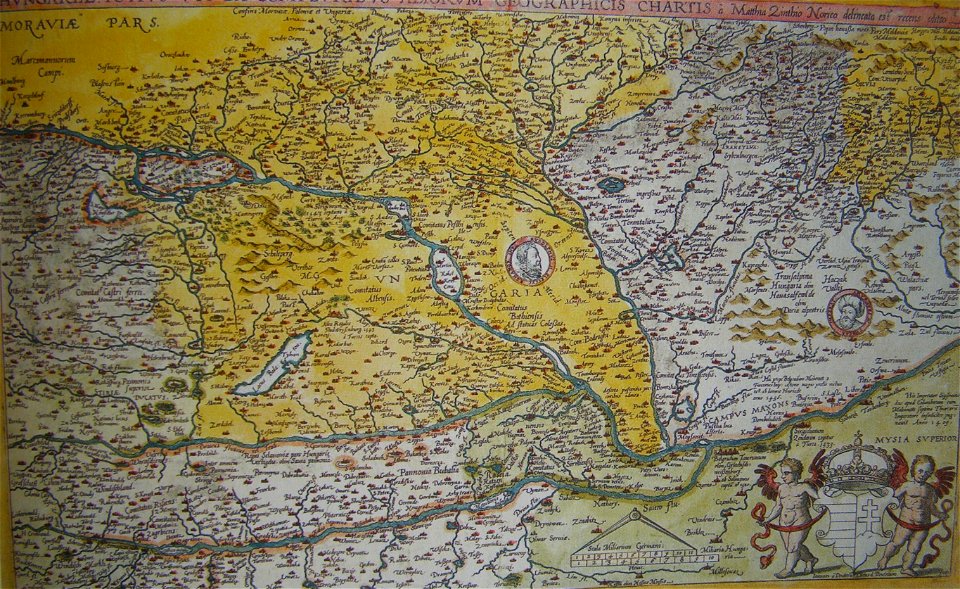
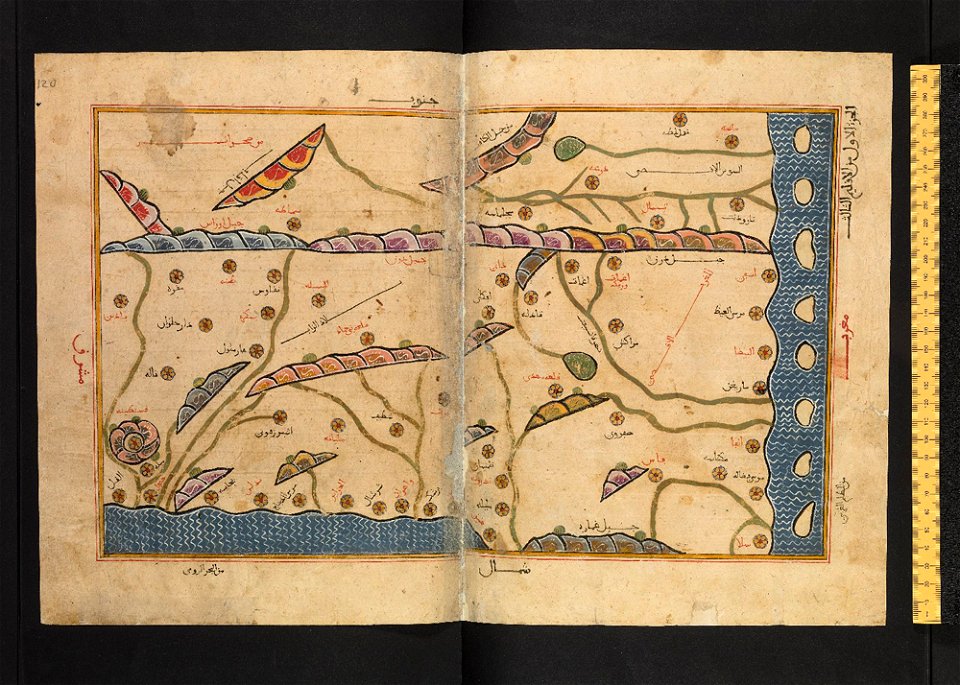
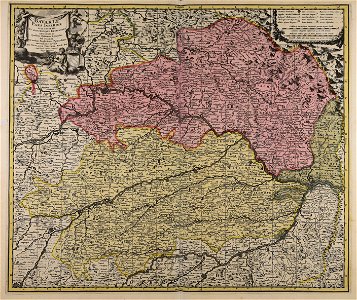
old maps of the history of hungary
old maps of the ottoman empire
maps made in the 17th century
maps by nicolaes visscher i
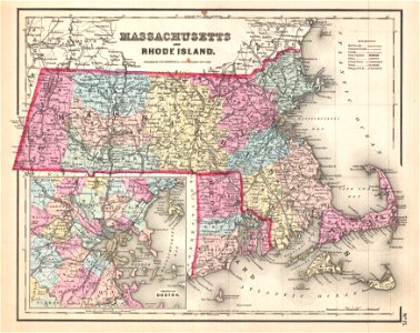
maps by joseph hutchins colton
1857 maps of massachusetts
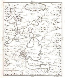
old maps of mexico
mexico
atlantis magni tomus quintus (biblioteca comunale di trento)
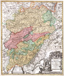
maps made in the 18th century
maps with cartouches
atlas van der hagen
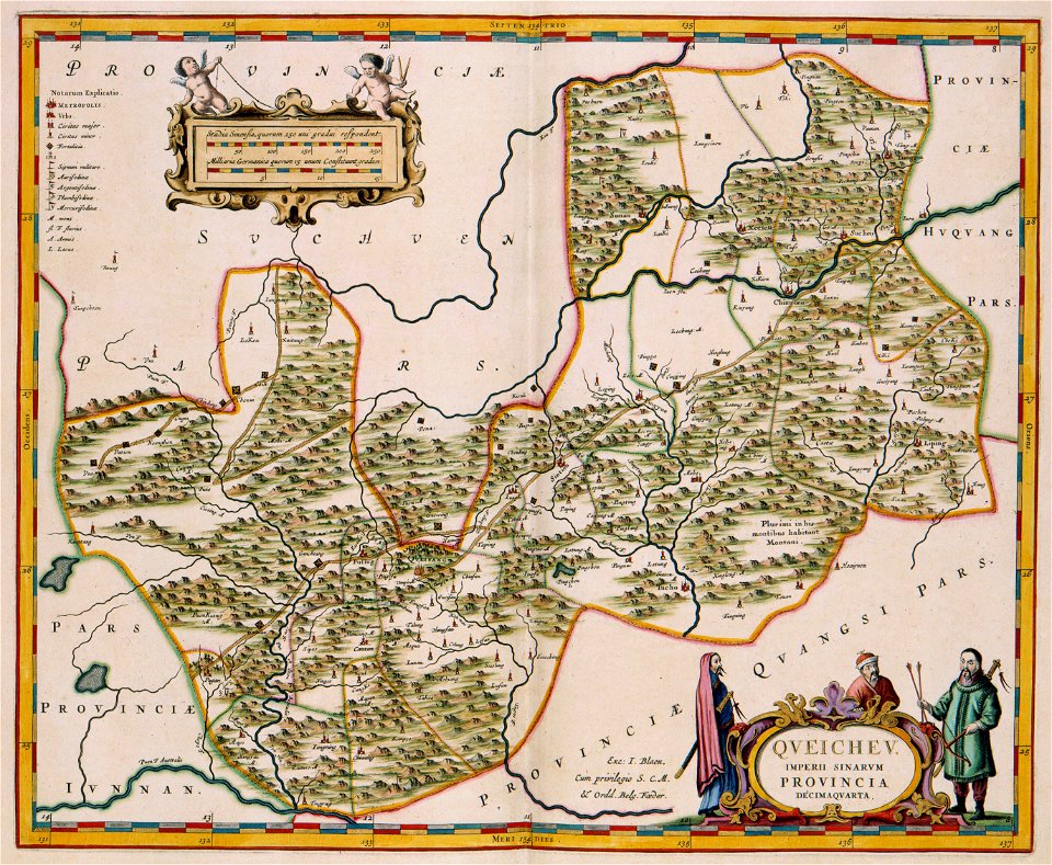
17th-century maps of china
guizhou
old maps of hesdin
old maps of france
maps with cartouches
vercelli
maps with cartouches
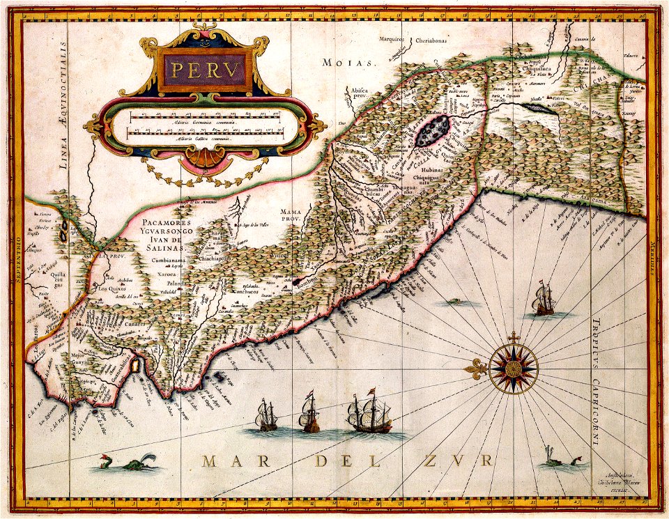
old maps of peru
maps made in the 17th century
maps by nicolaes visscher i
dutch-language maps
johannes ratelband
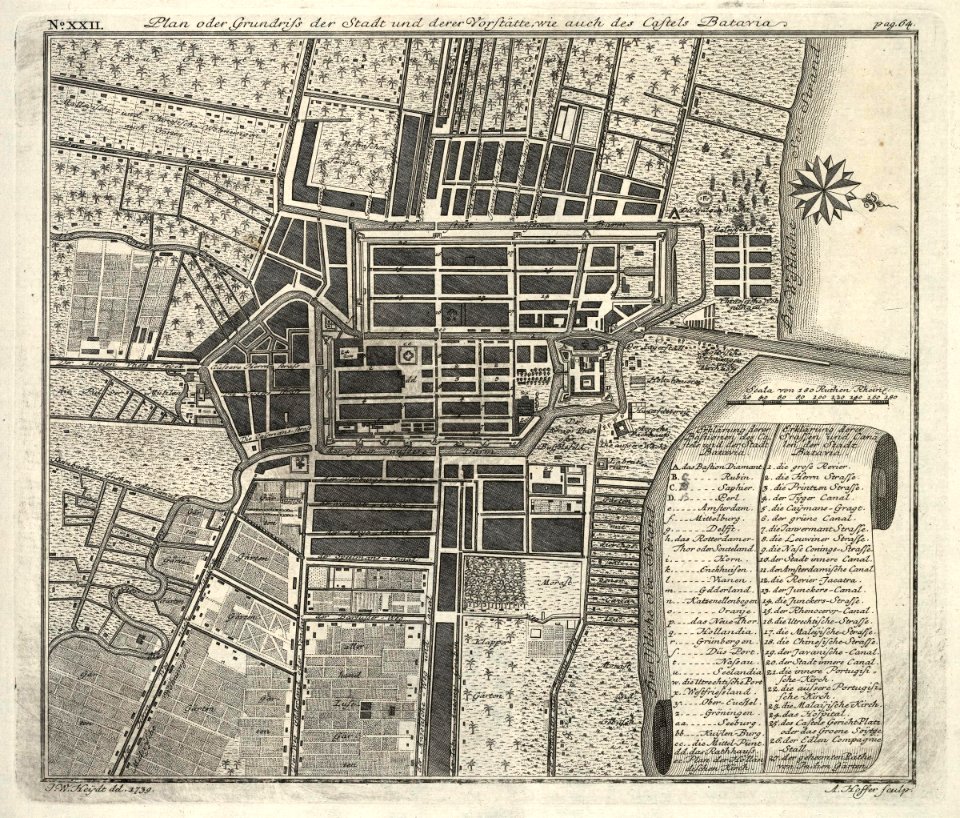
kota tua
batavia
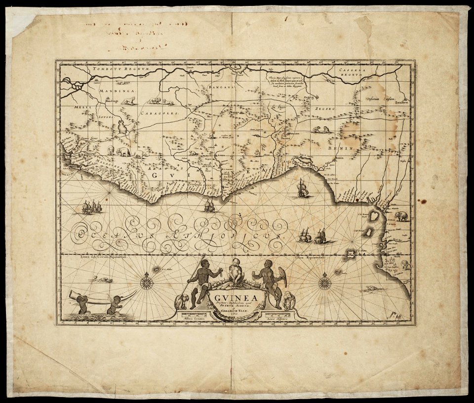
maps by pieter schenk (i)
gerard valck
maps made in the 17th century
maps by pieter schenk (i)
johann baptist homann
latin-language maps
hatched coats of arms
atlantic ocean
fonds ancely - bibliothèque municipale de toulouse - maps
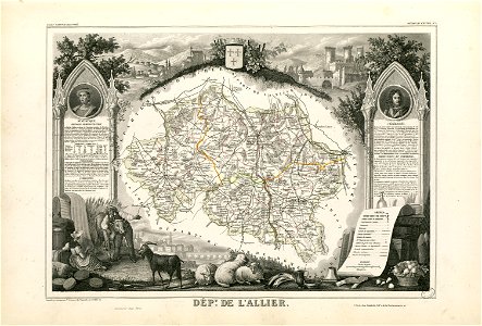
coats of arms of cities in allier
fonds ancely - bibliothèque municipale de toulouse - maps
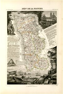
coats of arms of cities in manche
coats of arms of cities in eure
old maps of eure
fonds ancely - bibliothèque municipale de toulouse - maps
victor levasseur - maps of france
old maps of algeria
bodleian library
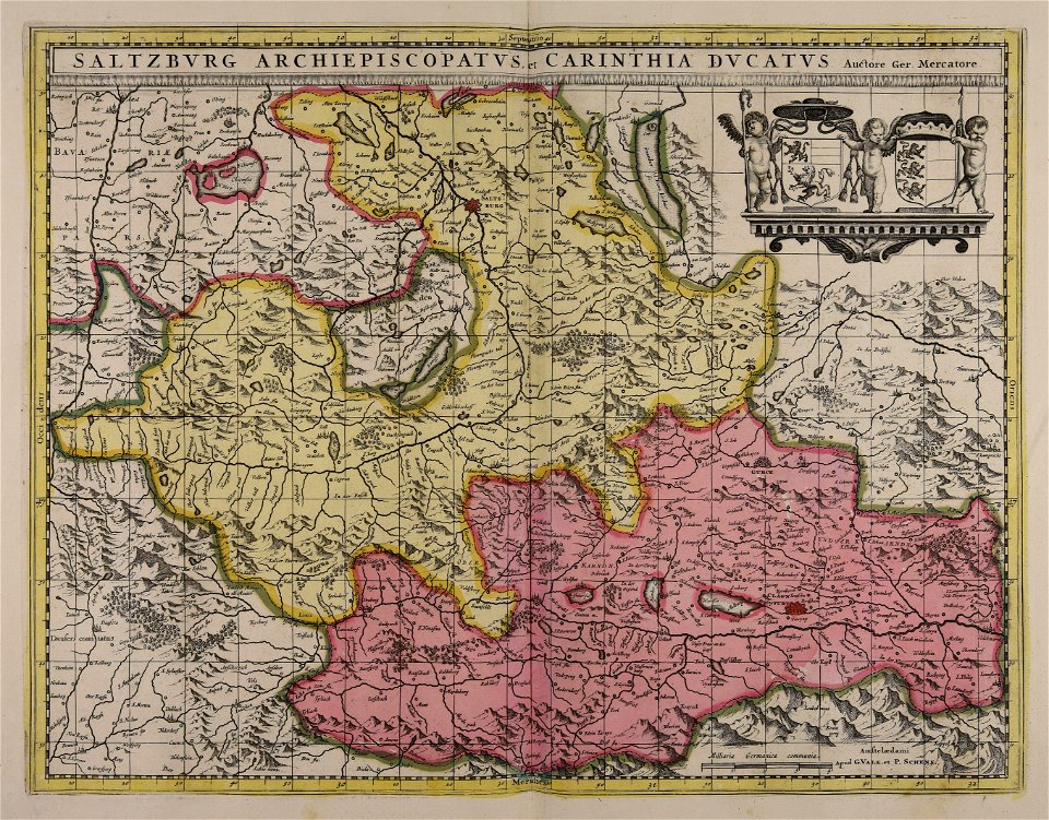
maps made in the 17th century
maps by nicolaes visscher i
maps made in the 17th century
maps by nicolaes visscher i
maps made in the 17th century
maps by nicolaes visscher i
maps made in the 17th century
maps by nicolaes visscher i
old maps of the carolingian empire
old maps of europe
maps by nicolaes visscher i
old maps of greece
maps made in the 17th century
old maps of gelderland
maps by nicolas sanson
northern michigan
atlantis magni tomus quintus (biblioteca comunale di trento)
maps made in the 18th century
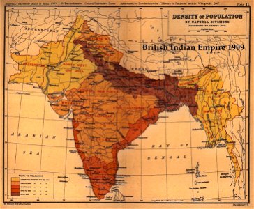
old maps of the indian subcontinent
1909 maps of india
fonds ancely - bibliothèque municipale de toulouse - maps
robert batty (artist)
burg meersburg
pencil drawing
the northern hemisphere of the celestial globe by albrecht dürer
old celestial maps
maps made in the 18th century
old maps of iran
maps made in the 18th century
old maps of saxony
files from the bodleian libraries
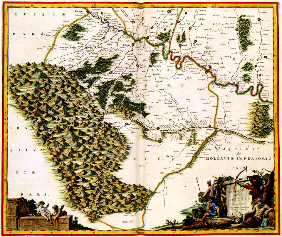
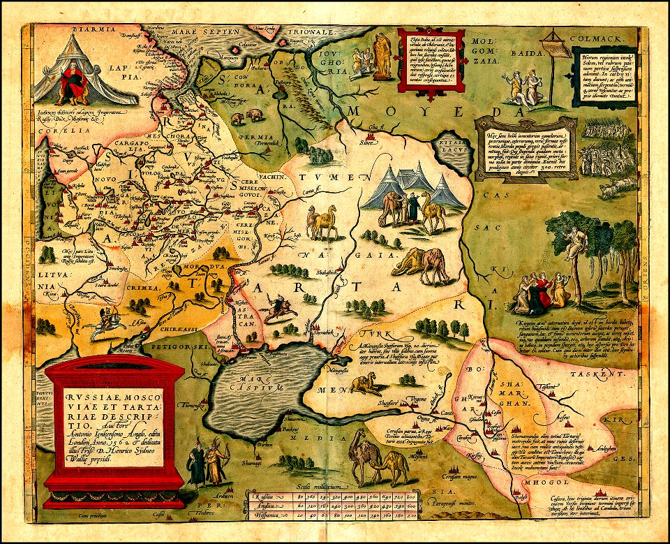
maps of tartary
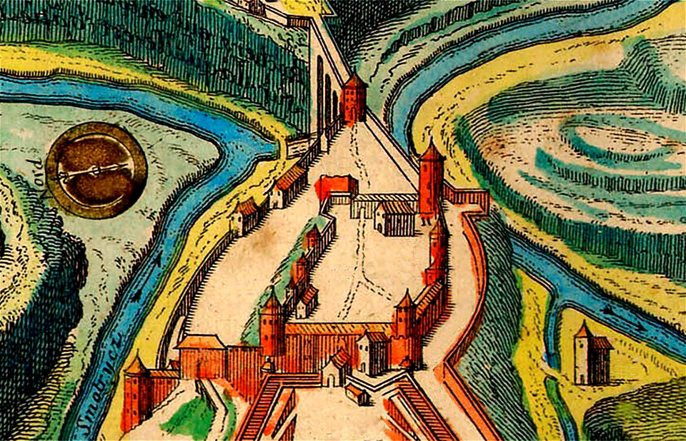
maps of kamianets-podilskyi
nicolas de fer
1760s etchings
1760 maps
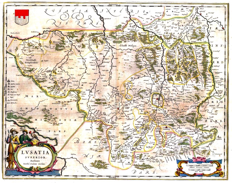
upper lusatia
kwisa
johannes kip
1732 maps
images from the new york public library
old maps of the tsardom of russia
maps made in the 18th century
old maps of flanders
copper engraving
beavers in art
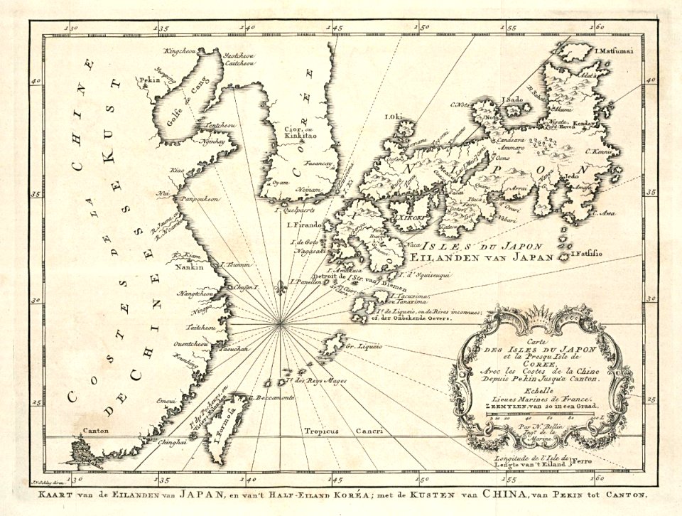
maps of the dutch east india company - japan
1747)
maps made in the 17th century
gerard valck
9101 - 9200 of 42,219
Next page
/ 423